Writes spatial raster values into tibble and adds coordinates.
Examples
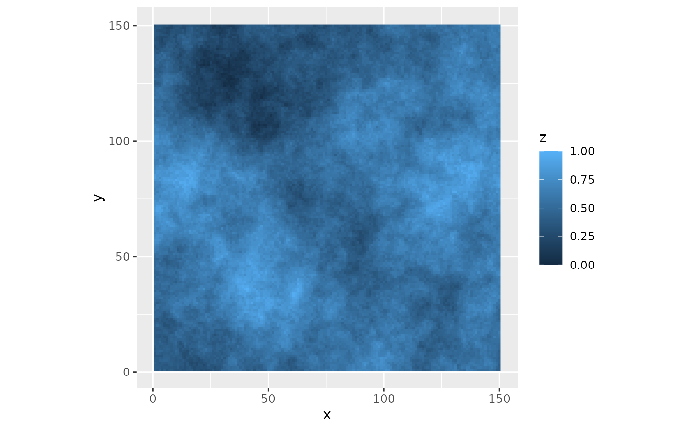
maptib <- util_raster2tibble(fractal_landscape)
# \donttest{
library(ggplot2)
ggplot(maptib, aes(x,y)) +
    coord_fixed() +
    geom_raster(aes(fill = z))

# }
# }
Writes spatial raster values into tibble and adds coordinates.
maptib <- util_raster2tibble(fractal_landscape)
# \donttest{
library(ggplot2)
ggplot(maptib, aes(x,y)) +
coord_fixed() +
geom_raster(aes(fill = z))
# }