Get EPSG codes or PROJ.4 codes for projections from the State Plane Coordinate System.
Usage
state_plane(state, plane_id = NULL, type = c("epsg", "proj4"))See also
For documentation of the underlying State Plane Coordinate System
projection data frame, see state_proj.
Examples
if (require(USAboundariesData, quietly = TRUE)) {
state_plane(state = "MA", type = "epsg")
state_plane(state = "MA", type = "proj4")
state_plane(state = "MA", plane_id = "island", type = "epsg")
state_plane(state = "MA", plane_id = "island", type = "proj4")
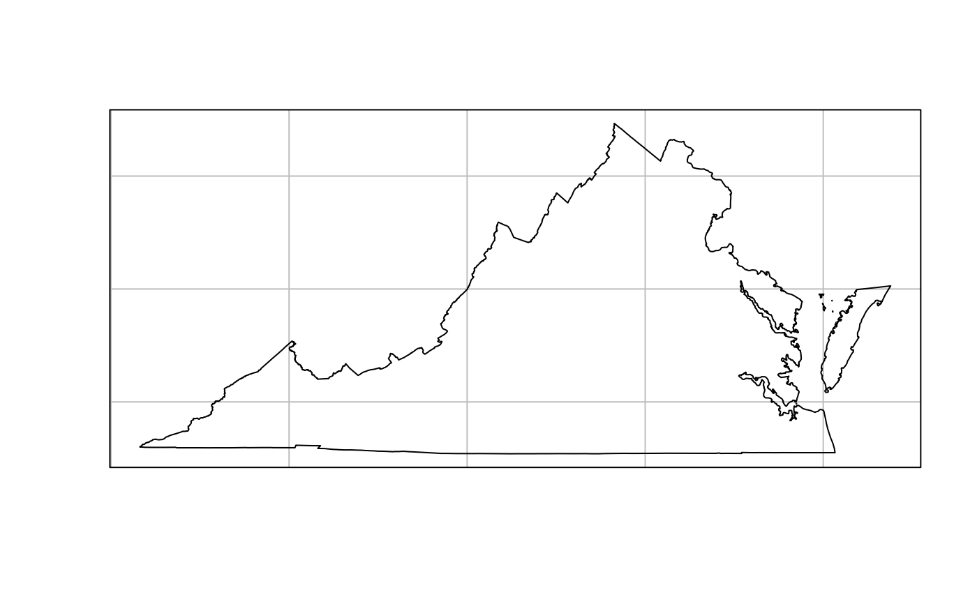
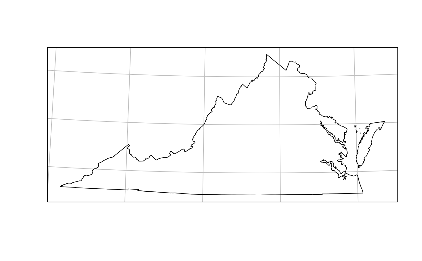
# Show the difference made by a state plane projection
if (require(sf, quietly = TRUE)) {
va <- us_states(states = "VA", resolution = "high")
plot(st_geometry(va), graticule = TRUE)
va <- st_transform(va, state_plane("VA"))
plot(st_geometry(va), graticule = TRUE)
}
}
#> Warning: package ‘USAboundariesData’ was built under R version 4.6.1
#> Linking to GEOS 3.12.1, GDAL 3.8.4, PROJ 9.4.0; sf_use_s2() is TRUE