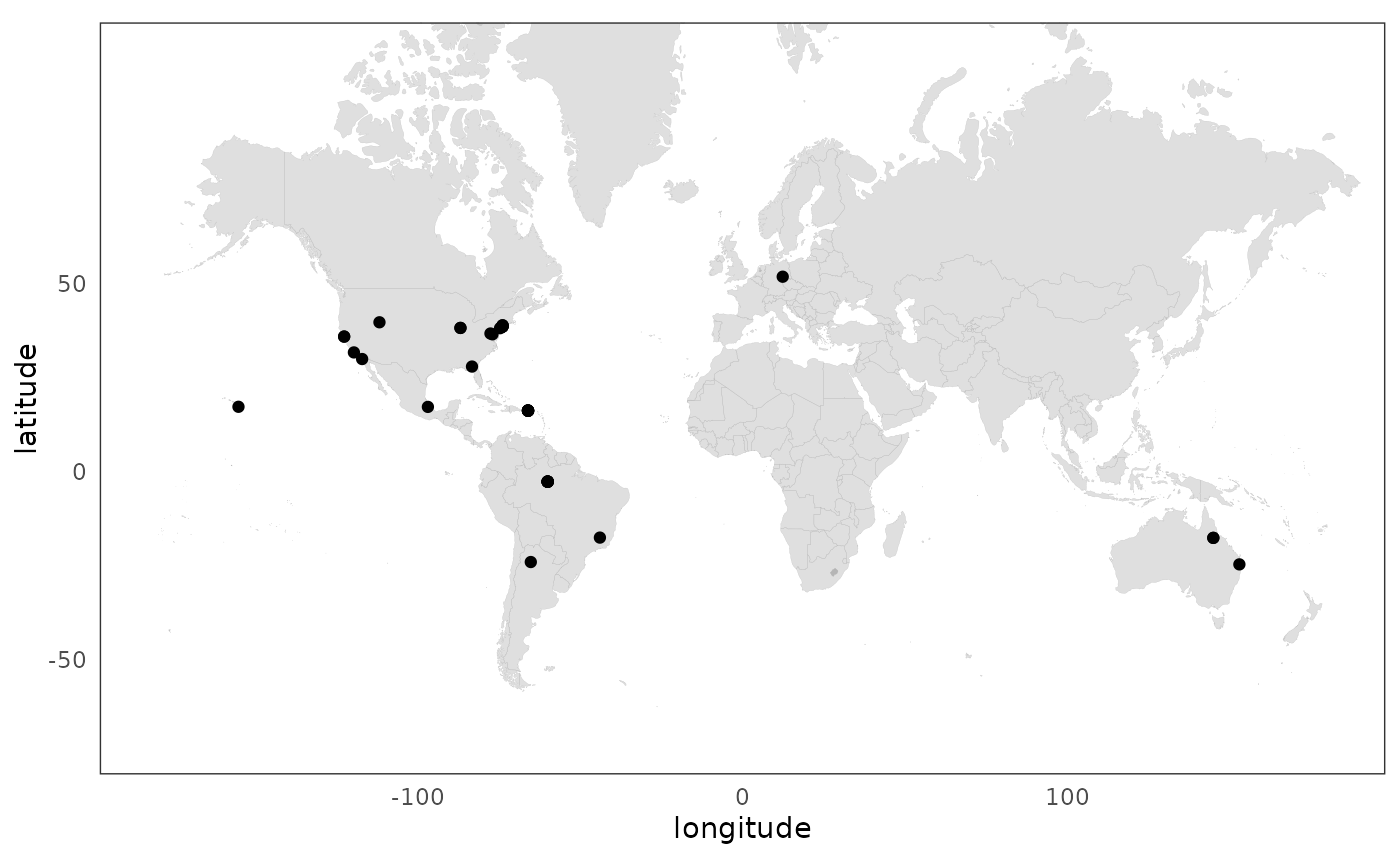
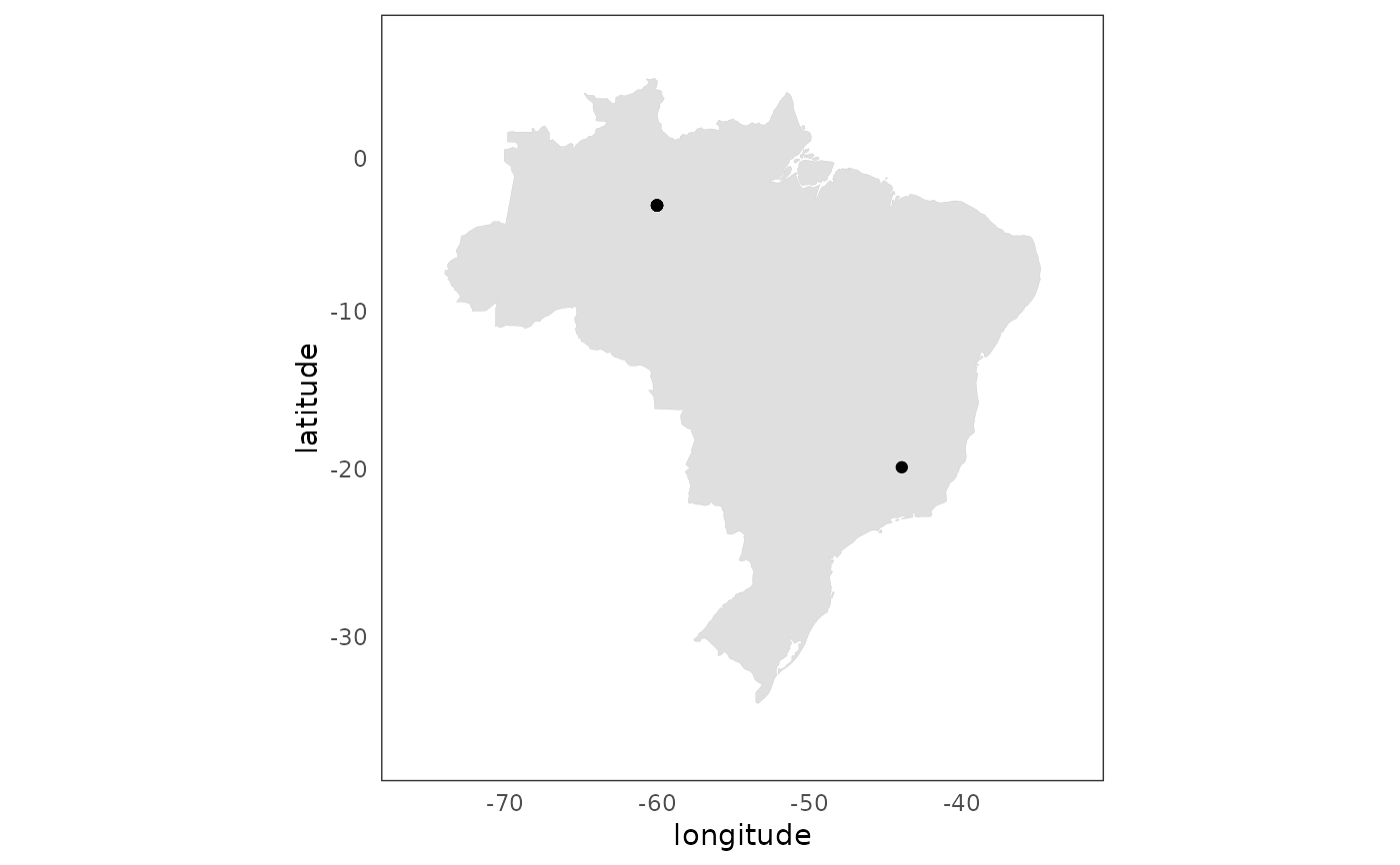
Plot address point locations on world map
Source:R/plot_addresses_points.R
plot_addresses_points.RdThis function plots an addresses data.frame object by point overlaid on the countries of the world.
Arguments
- data
the
addresselement from the list output by the `authors_georef()“ function, containing geocoded address latitude and longitude locations.- mapCountry
What country to map. Possible values include
"USA","Brazil","Australia",and"UK"usedata(countries)to see possible names. No value defaults to the world map.