returns world country polygons at a specified scale, or points of tiny_countries
Usage
ne_countries(
  scale = 110L,
  type = "countries",
  continent = NULL,
  country = NULL,
  geounit = NULL,
  sovereignty = NULL,
  returnclass = c("sf", "sv")
)
Arguments
- scale
The scale of map to return, one of `110`, `50`, `10` or `small`, `medium`, `large`.
- type
country type, one of 'countries', 'map_units', 'sovereignty', 'tiny_countries'
- continent
a character vector of continent names to get countries from.
- country
a character vector of country names.
- geounit
a character vector of geounit names.
- sovereignty
a character vector of sovereignty names.
- returnclass
A string determining the spatial object to return. Either "sf" for for simple feature (from `sf`, the default) or "sv" for a `SpatVector` (from `terra`).
Value
An object of class `sf` for simple feature (from `sf`, the default) or `SpatVector` (from `terra`).
Details
Note that the filename of the requested object will be returned if `load = FALSE`.
If the data is to be loaded into memory (`load = TRUE`), the download will be handled using the GDAL virtual file system, allowing direct access to the data without writing it to disk.
Examples
world <- ne_countries()
africa <- ne_countries(continent = "africa")
france <- ne_countries(country = "france")
plot(world$geometry)
 plot(africa$geometry)
 plot(france$geometry)
 # get as SpatVector
world <- ne_countries(returnclass = "sv")
terra::plot(world)
# get as SpatVector
world <- ne_countries(returnclass = "sv")
terra::plot(world)
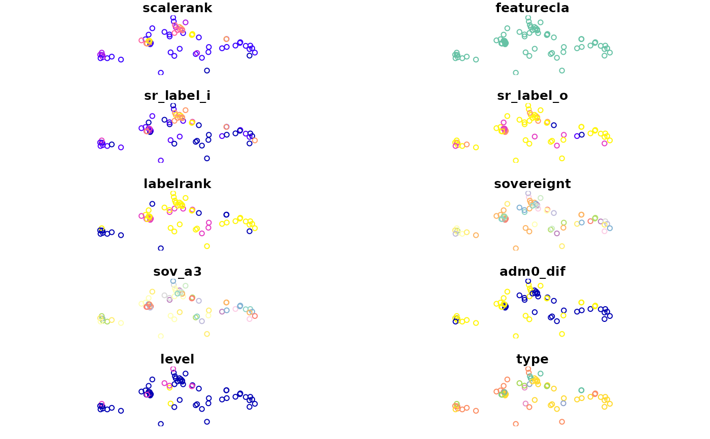
 tiny_countries <- ne_countries(type = "tiny_countries", scale = 50)
plot(tiny_countries)
#> Warning: plotting the first 10 out of 170 attributes; use max.plot = 170 to plot all
tiny_countries <- ne_countries(type = "tiny_countries", scale = 50)
plot(tiny_countries)
#> Warning: plotting the first 10 out of 170 attributes; use max.plot = 170 to plot all