These correspond to the cents_sf data.
Examples
library(sf)
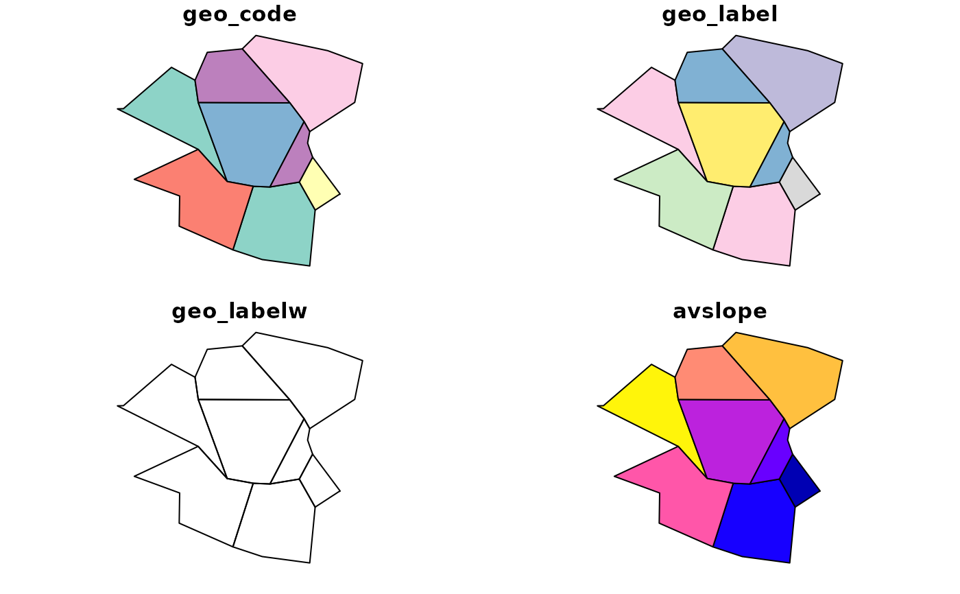
zones_sf
#> Simple feature collection with 8 features and 4 fields
#> Geometry type: POLYGON
#> Dimension: XY
#> Bounding box: xmin: -1.568904 ymin: 53.79758 xmax: -1.499425 ymax: 53.83613
#> Geodetic CRS: WGS 84
#> geo_code geo_label geo_labelw avslope geometry
#> 654 E02002382 Leeds 053 <NA> 2.284782 POLYGON ((-1.513589 53.8157...
#> 1466 E02002367 Leeds 038 <NA> 5.091685 POLYGON ((-1.553587 53.8308...
#> 1803 E02002393 Leeds 064 <NA> 2.361707 POLYGON ((-1.530424 53.8109...
#> 3093 E02002361 Leeds 032 <NA> 3.589363 POLYGON ((-1.533519 53.8338...
#> 4500 E02002371 Leeds 042 <NA> 2.814496 POLYGON ((-1.545994 53.8249...
#> 6251 E02002363 Leeds 034 <NA> 3.076791 POLYGON ((-1.54344 53.83331...
#> 7422 E02002384 Leeds 055 <NA> 2.856563 POLYGON ((-1.546022 53.8170...
#> 7750 E02002377 Leeds 048 <NA> 2.762529 POLYGON ((-1.515997 53.8217...
plot(zones_sf)