Obtain the information about of an eLTER location.
Source:R/get_location_info.R
get_location_info.Rd![[Stable]](figures/lifecycle-stable.svg) This function obtains the information about of an eLTER
location (e.g.
https://deims.org/location/12b38f3f-7e72-425a-80c7-7cad35ce4c7b)
provided in DEIMS-SDR catalogue.
This function obtains the information about of an eLTER
location (e.g.
https://deims.org/location/12b38f3f-7e72-425a-80c7-7cad35ce4c7b)
provided in DEIMS-SDR catalogue.
Arguments
- locationid
A
character. It is the DEIMS ID of location make from DEIMS-SDR website. DEIMS ID information here. The DEIMS.iD of activity is the URL for the location page.- show_map
A
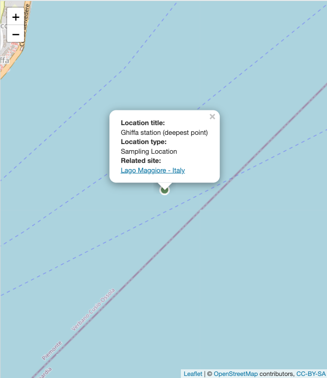
boolean. If TRUE a Leaflet map with occurrences is shown. Default FALSE.
Author
Alessandro Oggioni, phD (2020) oggioni.a@irea.cnr.it
Paolo Tagliolato, phD tagliolato.p@irea.cnr.it
Examples
if (FALSE) { # \dontrun{
# Sampling location multipolygon
location <- get_location_info(
  locationid =
    "https://deims.org/location/85dc6019-9654-4ba0-8338-08c4ffe8fe47",
  show_map = TRUE
)
location

# Sampling location polygon
location <- get_location_info(
  locationid =
    "https://deims.org/location/12b38f3f-7e72-425a-80c7-7cad35ce4c7b",
  show_map = TRUE
)
location

# Equipment location polygon
location <- get_location_info(
  locationid =
    "https://deims.org/locations/04de8301-b481-4ed2-89ff-2f48562e2514",
  show_map = TRUE
)
location

# Sampling location point
location <- get_location_info(
  locationid =
    "https://deims.org/location/ec1a58f7-1aee-4e3f-bec3-4eb1516ee905",
  show_map = TRUE
)
location

# Sampling location point with location type null
location <- get_location_info(
  locationid =
    "https://deims.org/location/c3db70c3-5d2c-4905-801c-7b7a5c4d00d9",
  show_map = TRUE
)
location
} # }