![[Stable]](figures/lifecycle-stable.svg) This internal function retrieves the boundary of a specified eLTER site
and a view of the site boundaries on a leaflet map is shown.
All the info are taken from the DEIMS-SDR sites API.
If the boundary is missing, a warning message is printed in the R console.
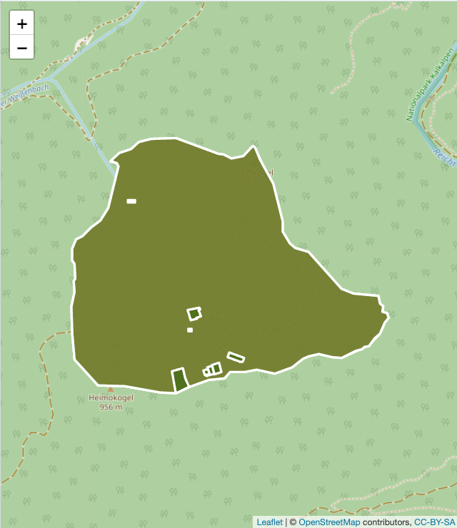
This internal function retrieves the boundary of a specified eLTER site
and a view of the site boundaries on a leaflet map is shown.
All the info are taken from the DEIMS-SDR sites API.
If the boundary is missing, a warning message is printed in the R console.
Arguments
- deimsid
A
character. The DEIMS ID of the site from DEIMS-SDR website. DEIMS ID information here.- show_map
A
booleanor the string "return". When TRUE alefletobject (a map) is returned and plotted. Default FALSE. When the value is "return", theleafletobject is returned but not plotted.- with_locations
A
boolean. When TRUE all site boundaries and related locations are returned (Sampling Location or Equipment Location). Default FALSE.
Value
The output of the function is a list with slots:
dataAnsfobject with the the boundary of the site. If the boundary is missing from DEIMS-SDR, atibblewith the name and URI of the site.locationsAtibblewith the locations' details ifwith_locationsis TRUE, otherwise NULL.
Author
Alessandro Oggioni, phD (2020) oggioni.a@irea.cnr.it
Micha Silver, phD (2021) silverm@post.bgu.ac.il
Paolo Tagliolato, phD tagliolato.p@irea.cnr.it