returns world coastline at specified scale
Usage
ne_coastline(scale = 110L, returnclass = c("sf", "sv"))Value
An object of class `sf` for simple feature (from `sf`, the default) or `SpatVector` (from `terra`).
Details
Note that the filename of the requested object will be returned if `load = FALSE`.
If the data is to be loaded into memory (`load = TRUE`), the download will be handled using the GDAL virtual file system, allowing direct access to the data without writing it to disk.
See also
ne_load, pre-downloaded data are available using
ne_countries, ne_states. Other geographic data
are available in the raster package : getData.
Examples
if (requireNamespace("rnaturalearthdata")) {
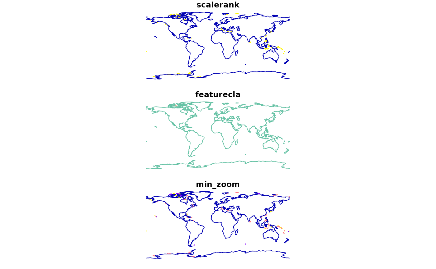
coast <- ne_coastline()
plot(coast)
}
#> Loading required namespace: rnaturalearthdata