Divides SpatialLinesDataFrame objects into separate Lines. Each new Lines object is the aggregate of a single number of aggregated lines.
Arguments
- sl
SpatialLinesDataFrame with overlapping Lines to split by number of overlapping features.
- buff_dist
A number specifying the distance in meters of the buffer to be used to crop lines before running the operation. If the distance is zero (the default) touching but non-overlapping lines may be aggregated.
See also
Other rnet:
islines(),
overline(),
rnet_breakup_vertices(),
rnet_group()
Examples
lib_versions <- sf::sf_extSoftVersion()
lib_versions
#> GEOS GDAL proj.4 GDAL_with_GEOS USE_PROJ_H
#> "3.12.1" "3.8.4" "9.4.0" "true" "true"
#> PROJ
#> "9.4.0"
# fails on some systems (with early versions of PROJ)
if (lib_versions[3] >= "6.3.1") {
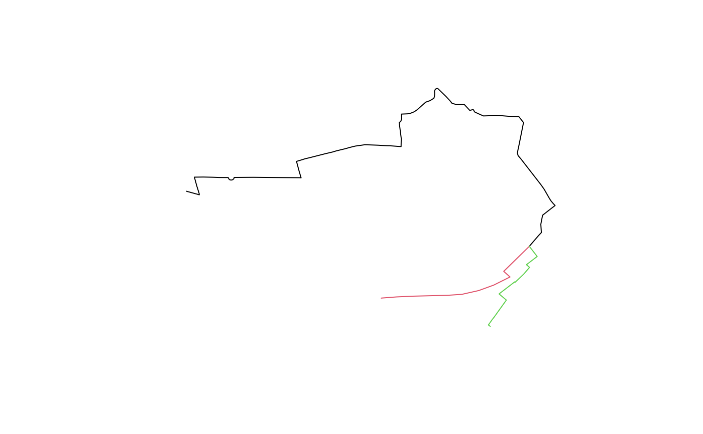
sl <- routes_fast_sf[2:4, ]
rsec <- gsection(sl)
length(rsec) # sections
plot(rsec, col = seq(length(rsec)))
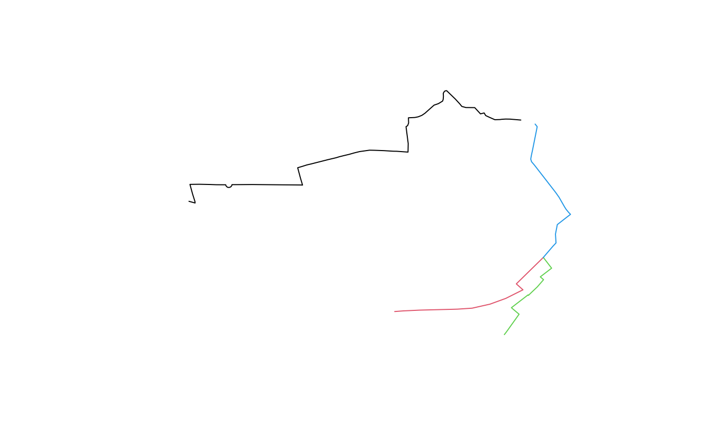
rsec <- gsection(sl, buff_dist = 50)
length(rsec) # 4 features: issue
plot(rsec, col = seq(length(rsec)))
}