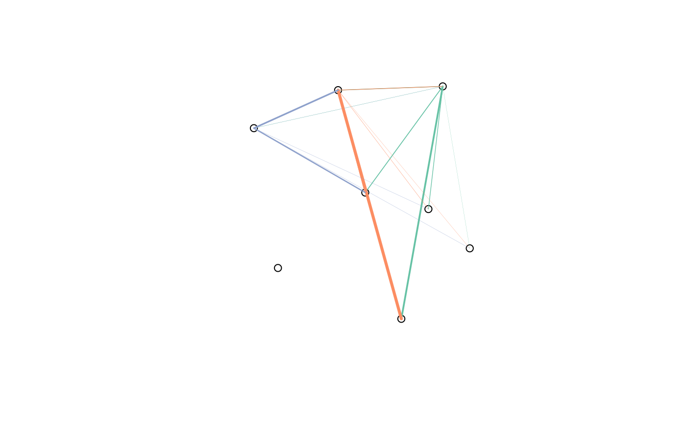
Origin-destination ('OD') flow data is often provided in the form of 1 line per flow with zone codes of origin and destination centroids. This can be tricky to plot and link-up with geographical data. This function makes the task easier.
Arguments
- flow
A data frame representing origin-destination data. The first two columns of this data frame should correspond to the first column of the data in the zones. Thus in
cents_sf(), the first column is geo_code. This corresponds to the first two columns offlow().- zones
A spatial object representing origins (and destinations if no separate destinations object is provided) of travel.
- destinations
A spatial object representing destinations of travel flows.
- zone_code
Name of the variable in
zonescontaining the ids of the zone. By default this is the first column names in the zones.- origin_code
Name of the variable in
flowcontaining the ids of the zone of origin. By default this is the first column name in the flow input dataset.- dest_code
Name of the variable in
flowcontaining the ids of the zone of destination. By default this is the second column name in the flow input dataset or the first column name in the destinations if that is set.- zone_code_d
Name of the variable in
destinationscontaining the ids of the zone. By default this is the first column names in the destinations.- silent
TRUE by default, setting it to TRUE will show you the matching columns
Details
Origin-destination (OD) data is often provided
in the form of 1 line per OD pair, with zone codes of the trip origin in the first
column and the zone codes of the destination in the second column
(see the vignette("stplanr-od")) for details.
od2line() creates a spatial (linestring) object representing movement from the origin
to the destination for each OD pair.
It takes data frame containing
origin and destination cones (flow) that match the first column in a
a spatial (polygon or point) object (zones).
Examples
od_data <- stplanr::flow[1:20, ]
l <- od2line(flow = od_data, zones = cents_sf)
plot(sf::st_geometry(cents_sf))
plot(l, lwd = l$All / mean(l$All), add = TRUE)
#> Warning: ignoring all but the first attribute

